Le Val Roy
Add to my favorites

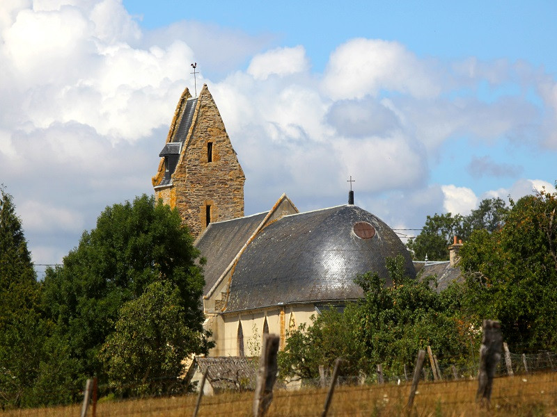
Randonnée de 10km autour d'Ouffières, village au passé médiéval important. Dans une ferme du village, vous pourrez voir de remarquables batiments remontant à l'époque de Jeanne d'Arc!
The characteristics of the route.

OUFFIERES (14)
- Distance 9.7 km
- Elevation gain 220 m
- Elevation lost 220 m
- Min. elevation 18 m
- Max. elevation. 163 m
- Duration (depending on pace) 03:30:00
Report a problem
22. Le Val Roy 2024 WEB All the routes on your smartphone
Download the Suisse Normande Outdoor mobile app
Get all the routes on your smartphone with the Suisse Normande Outdoor app. You'll find a host of functions:
- Take advantage of detailed IGN maps
- Download data for consultation even when you're not connected to the network
- Geolocate yourself at any time on the route and altimeter profile
- Activate the off-track alarm to be alerted if you stray from the itinerary
- Find nearby services
- Share your experience (add a report, share your lap time)...

Add your time and share your feelings
Services nearby

Délice d'Orties
MONTILLIERES-SUR-ORNE

Ecurie des Monts - Le Hom Equitation
THURY-HARCOURT-LE-HOM
Le Quai d'Harcourt Café Epicerie Associatif
THURY-HARCOURT-LE-HOM
Kayak Club Thury-Harcourt
THURY-HARCOURT-LE-HOM
Thury Plein Air
THURY-HARCOURT-LE-HOM


Falaise - Suisse Normande Tourist Office
+33(0)2 31 90 17 26
Tourist Office
send mail
Suisse Normande Tourisme
+33(0)2 31 79 70 45
Tourist Office
send mail
![]()
Montagnes de Normandie
+33(0)2 31 59 13 13
Tourist Office
send mail
Val d'Orne Tourist Office
+33(0)2 33 35 86 57
Tourist Office
send mail
 Suisse Normande Outdoor - Parcours - Le Val Roy
Hello, world! This is a toast message.
Suisse Normande Outdoor - Parcours - Le Val Roy
Hello, world! This is a toast message.
Suisse Normande Outdoor - Parcours - Le Val Roy
Hello, world! This is a toast message.


OK
Annuler