8 - La colline d'enfer
Add to my favorites

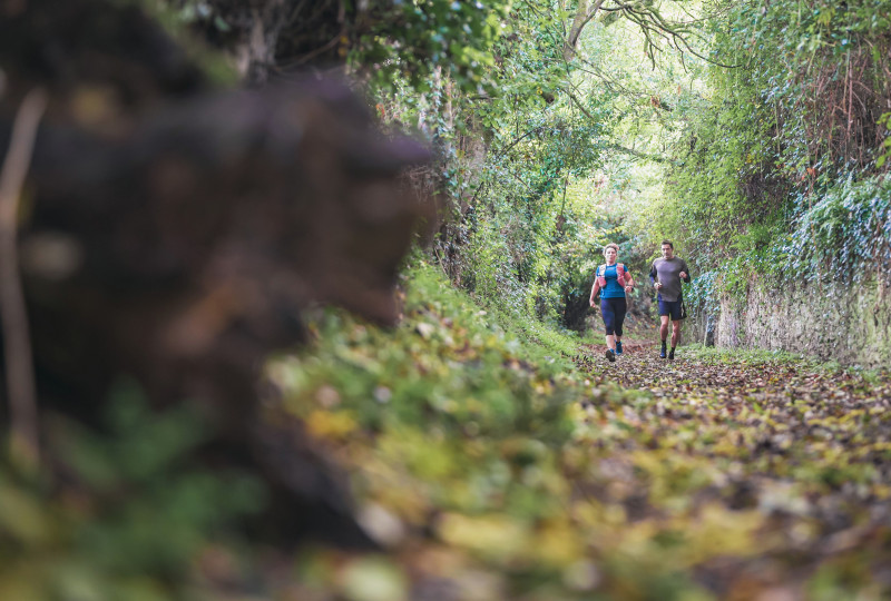
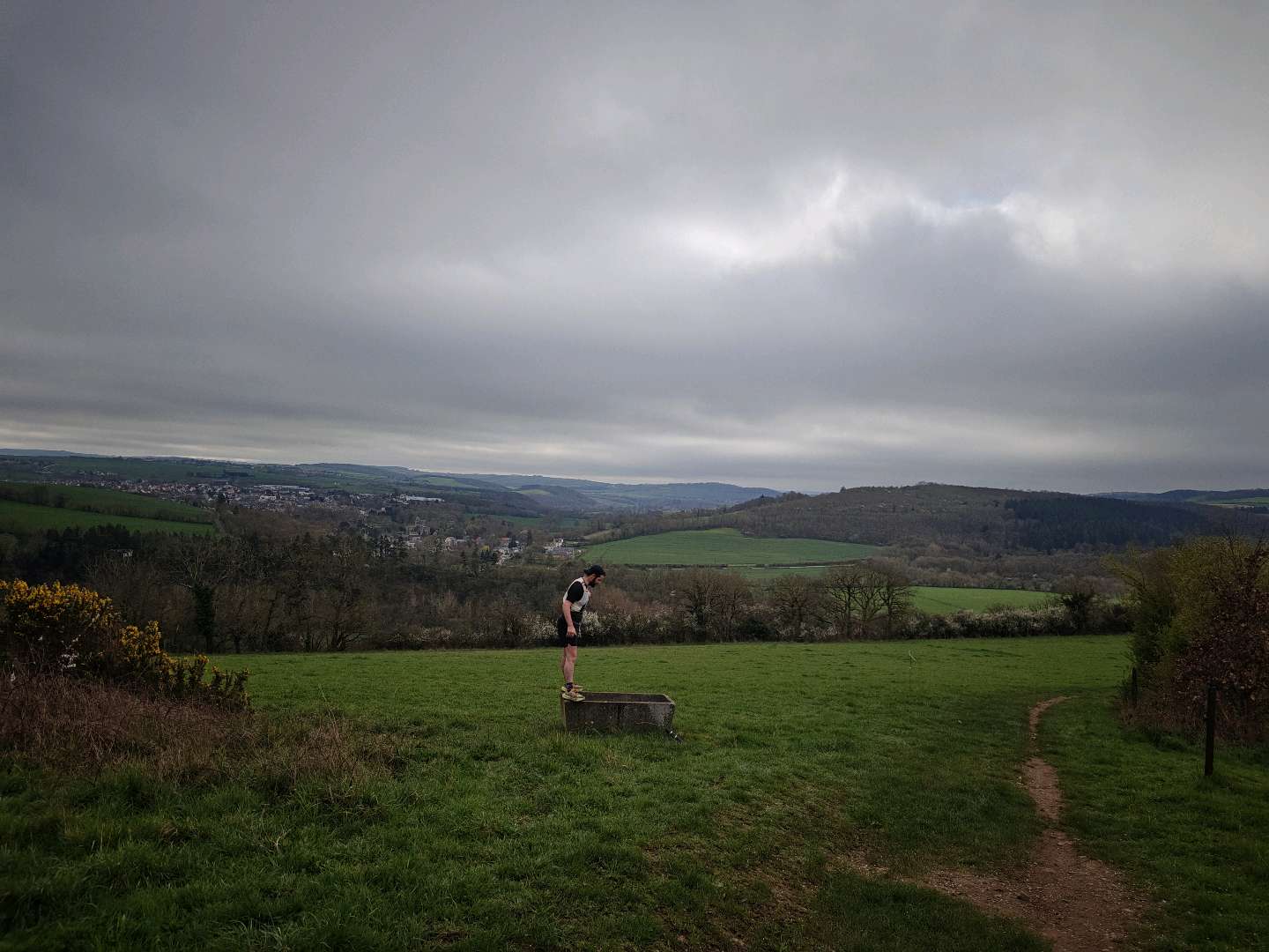
Direction les hauteurs de Curcy-sur-Orne par le sentier escarpé de la métairie puis rejoignez Hamars et sa vallée. Descendez ensuite vers le Bois de Culey que vous traverserez pour rejoindre le village de St Martin de Sallen et la chapelle St Joseph avant de redescendre la colline d’enfer jusqu’aux bords de l’Orne.
The characteristics of the route.

THURY-HARCOURT-LE-HOM (14)
- Distance 20.65 km
- Elevation gain 610 m
- Elevation lost 610 m
- Min. elevation 21 m
- Max. elevation. 262 m
- Duration (depending on pace) 2h15 à 4h30
- Suivre le balisage

Report a problem
All the routes on your smartphone
Download the Suisse Normande Outdoor mobile app
Get all the routes on your smartphone with the Suisse Normande Outdoor app. You'll find a host of functions:
- Take advantage of detailed IGN maps
- Download data for consultation even when you're not connected to the network
- Geolocate yourself at any time on the route and altimeter profile
- Activate the off-track alarm to be alerted if you stray from the itinerary
- Find nearby services
- Share your experience (add a report, share your lap time)...

The latest reviews & times
Alison08
The 2026/06/06
En savoir plus
Toniocourt
finished in 02:10:00
The 2026/03/15
En savoir plus
ArthurGNR
finished in 02:06:00
The 2026/03/10
En savoir plus
Toniocourt
finished in 02:27:00
The 2025/09/14
En savoir plus
Valentin-F
finished in 02:18:00
The 2025/09/14
En savoir plus
See all reviews & times
2026/06/06 Alison08
2026/03/15 02:10:00
Toniocourt
Toniocourt
2025/09/14 02:27:00
Toniocourt
Toniocourt
2025/09/14 02:18:00
Valentin-F
Valentin-F
parcours moyen , très peu technique malgrés quelques difficultées intéressantes , point négatif beaucoup de route
2025/08/17 02:34:00
Anthony-Ragnar-Lodbrok
Anthony-Ragnar-Lodbrok
positif Top parcours : différents type de sentier plus ou moins technique - un super panorama Négatif ( Néanmoins entre le km 1&12 le balisage est vraiment très sommaire pas d'indication de changement de direction ( sans la trace c'est la perte assuré) mieux sur le reste du parcours
2025/08/04 Freesphere
Parcours moyen pour un circuit de trail... Premiere partie avec beaucoup de route mais deuxième plus sympa... Bien fléché
2025/07/30 mathiste_B
Services nearby

Le Quai d'Harcourt Café Epicerie Associatif
THURY-HARCOURT-LE-HOM

Kayak Club Thury-Harcourt
THURY-HARCOURT-LE-HOM
Thury Plein Air
THURY-HARCOURT-LE-HOM

Thury Plein Air
THURY-HARCOURT-LE-HOM
Club Multisports Thury-Harcourt
THURY-HARCOURT-LE-HOM


Falaise - Suisse Normande Tourist Office
+33(0)2 31 90 17 26
Tourist Office
send mail
Suisse Normande Tourisme
+33(0)2 31 79 70 45
Tourist Office
send mail
![]()
Montagnes de Normandie
+33(0)2 31 59 13 13
Tourist Office
send mail
Val d'Orne Tourist Office
+33(0)2 33 35 86 57
Tourist Office
send mail
 Suisse Normande Outdoor - Parcours - 8 - La colline d'enfer
Hello, world! This is a toast message.
Suisse Normande Outdoor - Parcours - 8 - La colline d'enfer
Hello, world! This is a toast message.
Suisse Normande Outdoor - Parcours - 8 - La colline d'enfer
Hello, world! This is a toast message.


OK
Annuler