
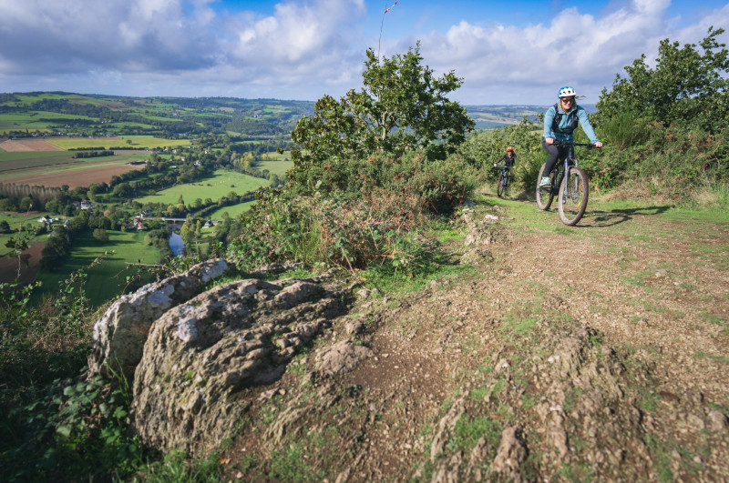
Circuit au départ de Clécy et ses bords de l'Orne avant de rejoindre les hauteurs des Rochers de la Houle offrant ainsi une vue magnifique sur ce relief de monts normands ainsi qu'un emplacement idéal pour la pratique du parapente. Ensuite direction St Clair et sa chapelle de 1680. Sur le parcours, ne manquez pas le parc naturel et historique de Château Ganne à La Pommeraye. En fin de circuit, vous pourrez voir en bordure de l'Orne, la filature du Bô, construite sur l'emplacement d'un ancien moulin à papier et à grain.

- Distance 29.91 km
- Elevation gain 900 m
- Elevation lost 900 m
- Min. elevation 33 m
- Max. elevation. 291 m
- Duration (depending on pace) 3h30
- Suivre le balisage

Get all the routes on your smartphone with the Suisse Normande Outdoor app. You'll find a host of functions:
- Take advantage of detailed IGN maps
- Download data for consultation even when you're not connected to the network
- Geolocate yourself at any time on the route and altimeter profile
- Activate the off-track alarm to be alerted if you stray from the itinerary
- Find nearby services
- Share your experience (add a report, share your lap time)...


Falaise - Suisse Normande Tourist Office
+33(0)2 31 90 17 26
Tourist Office
send mail
Suisse Normande Tourisme
+33(0)2 31 79 70 45
Tourist Office
send mail
![]()
Montagnes de Normandie
+33(0)2 31 59 13 13
Tourist Office
send mail
Val d'Orne Tourist Office
+33(0)2 33 35 86 57
Tourist Office
send mail
 Suisse Normande Outdoor - Parcours - 11 - Saint-Clair
Suisse Normande Outdoor - Parcours - 11 - Saint-Clair
Suisse Normande Outdoor - Parcours - 11 - Saint-Clair
Suisse Normande Outdoor - Parcours - 11 - Saint-Clair
Suisse Normande Outdoor - Parcours - 11 - Saint-Clair

