
Une découverte sportive de paysages escarpés et émaillés de sites remarquables. Depuis la vallée du Traspy, rejoignez les hauteurs d'Esson puis la vallée des Vaux avant de basculer de l'autre côté de l'Orne au Pont de la Mousse. Rejoignez ensuite la Butte aux rats puis le Bois de Culey vers St-Martin-de-Sallen pour terminer par la colline d'enfer.

- Distance 30.87 km
- Elevation gain 710 m
- Elevation lost 710 m
- Min. elevation 22 m
- Max. elevation. 274 m
- Duration (depending on pace) 3h15
- Suivre le balisage

Get all the routes on your smartphone with the Suisse Normande Outdoor app. You'll find a host of functions:
- Take advantage of detailed IGN maps
- Download data for consultation even when you're not connected to the network
- Geolocate yourself at any time on the route and altimeter profile
- Activate the off-track alarm to be alerted if you stray from the itinerary
- Find nearby services
- Share your experience (add a report, share your lap time)...


Falaise - Suisse Normande Tourist Office
+33(0)2 31 90 17 26
Tourist Office
send mail
Suisse Normande Tourisme
+33(0)2 31 79 70 45
Tourist Office
send mail
![]()
Montagnes de Normandie
+33(0)2 31 59 13 13
Tourist Office
send mail
Val d'Orne Tourist Office
+33(0)2 33 35 86 57
Tourist Office
send mail
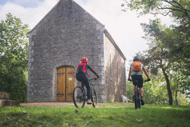
 Suisse Normande Outdoor - Parcours - 5 - La chapelle St Joseph
Suisse Normande Outdoor - Parcours - 5 - La chapelle St Joseph
Suisse Normande Outdoor - Parcours - 5 - La chapelle St Joseph
Suisse Normande Outdoor - Parcours - 5 - La chapelle St Joseph
Suisse Normande Outdoor - Parcours - 5 - La chapelle St Joseph

