
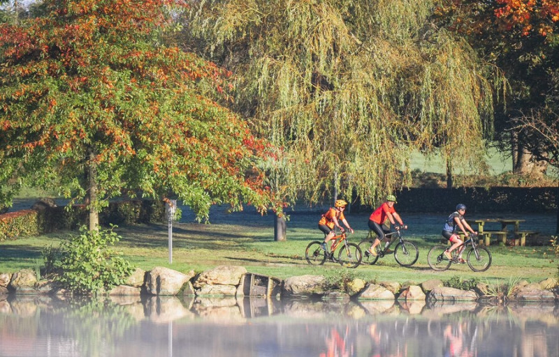
Ce circuit à assistance électrique vous fait découvrir Athis-de-l’Orne autrement, en alternant petites routes, chemins boisés et haltes bucoliques. Entre deux coups de pédales, laissez-vous surprendre par le jardin “Intérieur à ciel ouvert”, un écrin artistique et végétal à l’ambiance onirique, ou par les somptueux jardins Renaissance du manoir de la Boisnerie, labellisés Jardin Remarquable.
Sur votre route, une pause fraîcheur à l’étang de la Queue d’Aronde, en forme de queue d’hirondelle, s’impose. Un itinéraire tout en douceur pour flâner, respirer et redécouvrir le bocage normand… à son rythme.

- Distance 29.94 km
- Elevation gain 420 m
- Elevation lost 420 m
- Min. elevation 102 m
- Max. elevation. 261 m
- Duration (depending on pace) 02:00:00
- Suivre le balisage

Get all the routes on your smartphone with the Suisse Normande Outdoor app. You'll find a host of functions:
- Take advantage of detailed IGN maps
- Download data for consultation even when you're not connected to the network
- Geolocate yourself at any time on the route and altimeter profile
- Activate the off-track alarm to be alerted if you stray from the itinerary
- Find nearby services
- Share your experience (add a report, share your lap time)...


Falaise - Suisse Normande Tourist Office
+33(0)2 31 90 17 26
Tourist Office
send mail
Suisse Normande Tourisme
+33(0)2 31 79 70 45
Tourist Office
send mail
![]()
Montagnes de Normandie
+33(0)2 31 59 13 13
Tourist Office
send mail
Val d'Orne Tourist Office
+33(0)2 33 35 86 57
Tourist Office
send mail
 Suisse Normande Outdoor - Parcours - 40 - Détours et contours d'Athis - VTT-AE
Suisse Normande Outdoor - Parcours - 40 - Détours et contours d'Athis - VTT-AE
Suisse Normande Outdoor - Parcours - 40 - Détours et contours d'Athis - VTT-AE
Suisse Normande Outdoor - Parcours - 40 - Détours et contours d'Athis - VTT-AE
Suisse Normande Outdoor - Parcours - 40 - Détours et contours d'Athis - VTT-AE

