
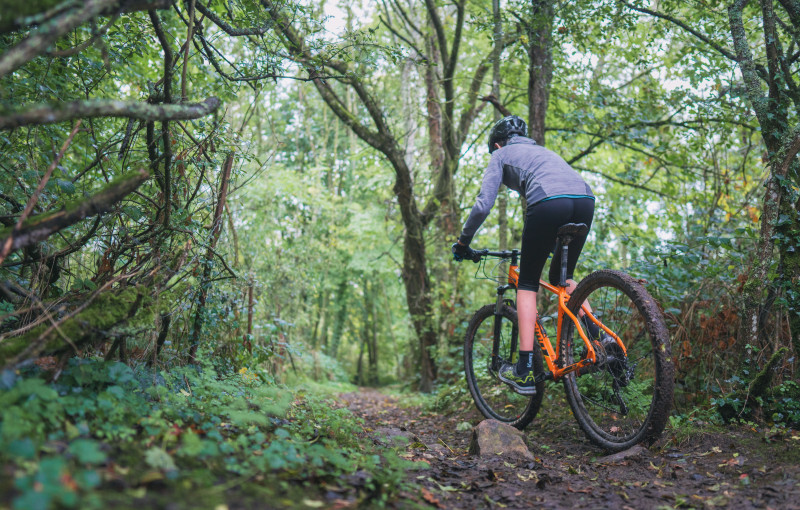
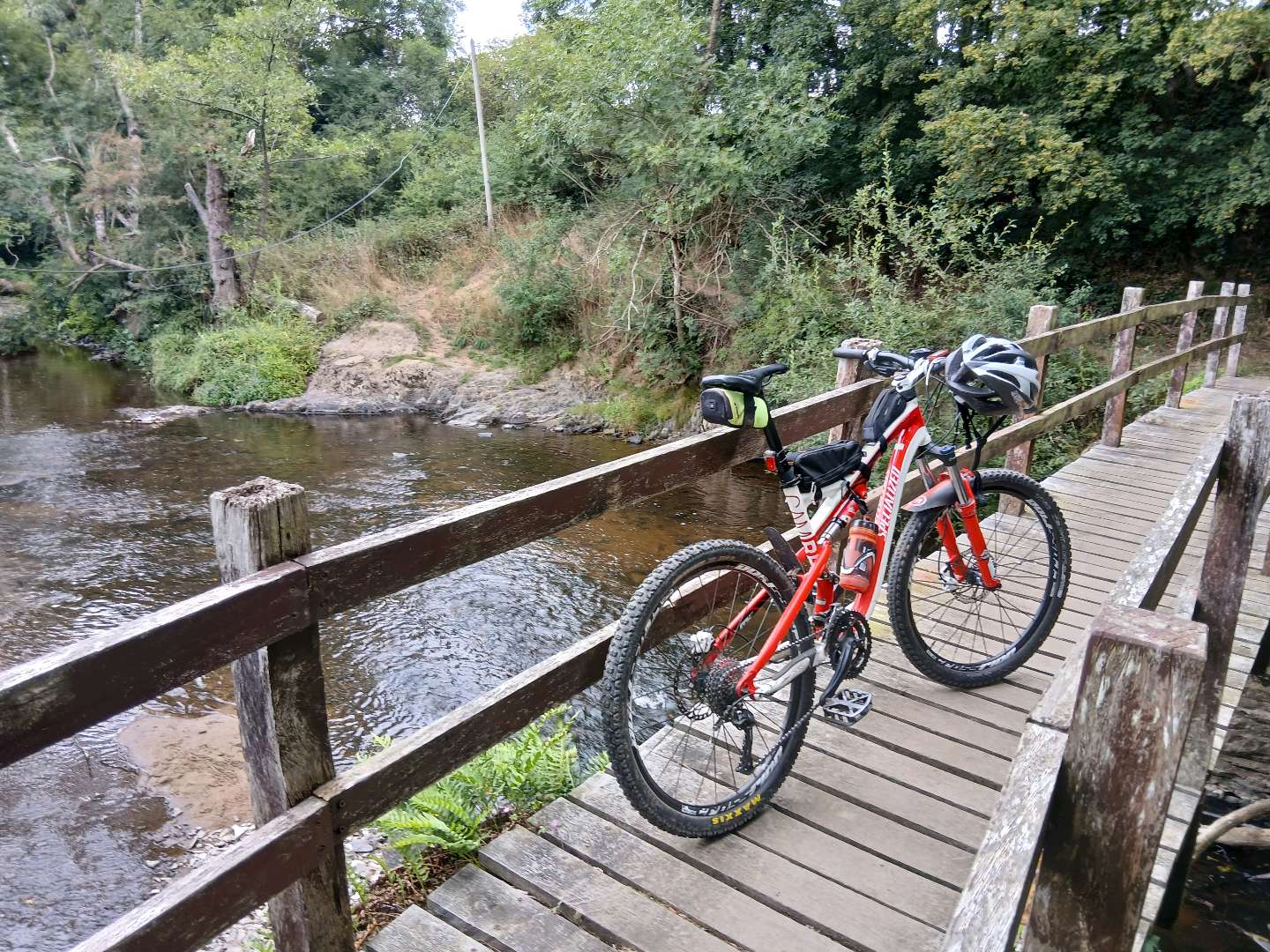
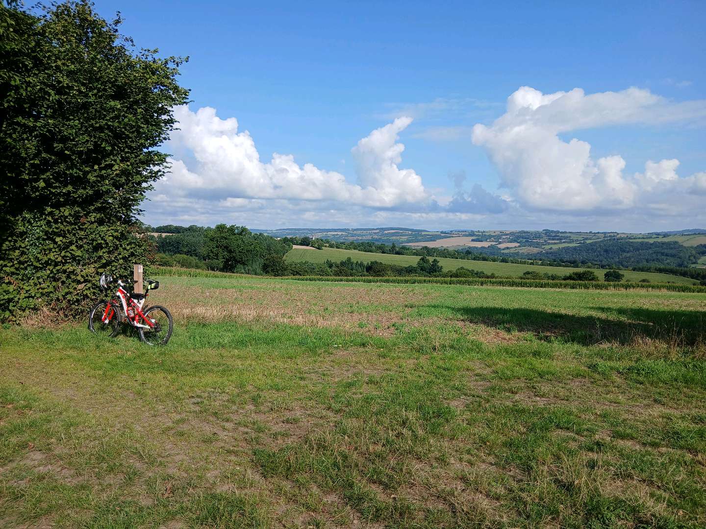
Ce parcours débutera par une mise en jambe confortable sur une pente progressive vers Ménil-Hubert-sur-Orne. Vous plongerez ensuite vers les méandres tortueux de la rivière la Rouvre et vous lancerez sur la pente ardue vers la Roche d'Oëtre. Après une éventuelle découverte du site, vous prendrez à nouveau la direction de la Rouvre tout en rejoignant Saint-Philbert-sur-Orne. À partir du Mesnil-Villement, le paysage est plus ouvert avec des chemins larges offrant de magnifiques panoramas. Retour à Pont-d'Ouilly en suivant la descente technique de la Cambuse.
Retrouvez cet itinéraire sur le portail : https://suissenormande-outdoor.com/ ou en téléchargeant l'application "Suisse Normande Outdoor"

- Distance 29.45 km
- Elevation gain 710 m
- Elevation lost 710 m
- Min. elevation 48 m
- Max. elevation. 227 m
- Duration (depending on pace) 2h40
Get all the routes on your smartphone with the Suisse Normande Outdoor app. You'll find a host of functions:
- Take advantage of detailed IGN maps
- Download data for consultation even when you're not connected to the network
- Geolocate yourself at any time on the route and altimeter profile
- Activate the off-track alarm to be alerted if you stray from the itinerary
- Find nearby services
- Share your experience (add a report, share your lap time)...


Falaise - Suisse Normande Tourist Office
+33(0)2 31 90 17 26
Tourist Office
send mail
Suisse Normande Tourisme
+33(0)2 31 79 70 45
Tourist Office
send mail
![]()
Montagnes de Normandie
+33(0)2 31 59 13 13
Tourist Office
send mail
Val d'Orne Tourist Office
+33(0)2 33 35 86 57
Tourist Office
send mail
 Suisse Normande Outdoor - Parcours - 24- La Montagnarde
Suisse Normande Outdoor - Parcours - 24- La Montagnarde
Suisse Normande Outdoor - Parcours - 24- La Montagnarde
Suisse Normande Outdoor - Parcours - 24- La Montagnarde
Suisse Normande Outdoor - Parcours - 24- La Montagnarde

