
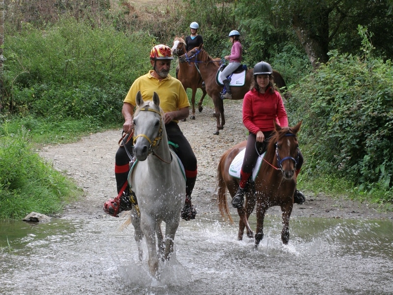
A travers ce périple, nous vous invitons à découvrir un des plus prestigieux sites naturels de l’ouest de la France : la Roche d’Oëtre. De multiples surprises paysagères émaillent cette magnifique boucle, des méandres de la Rouvre en passant par les sentiers bucoliques et ombragés entre Rapilly et Pierrepont ou en sinuant au cœur du Val la Hère.

- Distance 34.63 km
- Elevation gain 840 m
- Elevation lost 840 m
- Min. elevation 46 m
- Max. elevation. 247 m
- Duration (depending on pace) 09:00:00
Get all the routes on your smartphone with the Suisse Normande Outdoor app. You'll find a host of functions:
- Take advantage of detailed IGN maps
- Download data for consultation even when you're not connected to the network
- Geolocate yourself at any time on the route and altimeter profile
- Activate the off-track alarm to be alerted if you stray from the itinerary
- Find nearby services
- Share your experience (add a report, share your lap time)...


Falaise - Suisse Normande Tourist Office
+33(0)2 31 90 17 26
Tourist Office
send mail
Suisse Normande Tourisme
+33(0)2 31 79 70 45
Tourist Office
send mail
![]()
Montagnes de Normandie
+33(0)2 31 59 13 13
Tourist Office
send mail
Val d'Orne Tourist Office
+33(0)2 33 35 86 57
Tourist Office
send mail
 Suisse Normande Outdoor - Parcours - Circuit de la Roche d'Oëtre
Suisse Normande Outdoor - Parcours - Circuit de la Roche d'Oëtre
Suisse Normande Outdoor - Parcours - Circuit de la Roche d'Oëtre
Suisse Normande Outdoor - Parcours - Circuit de la Roche d'Oëtre
Suisse Normande Outdoor - Parcours - Circuit de la Roche d'Oëtre

