
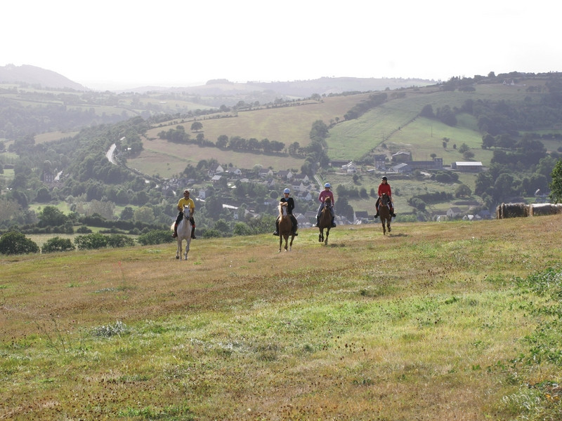
Sur un parcours faisant fi de la monotonie, vous alternerez montées et descentes tout en découvrant les surprenants paysages de la vallée du Noireau avec ses collines tout en rondeur. Comme un rappel régulier, les apparitions successives des contreforts de la vallée de l’Orne signalent les liens étroits entre le fleuve Orne et la rivière le Noireau.

- Distance 29.52 km
- Elevation gain 760 m
- Elevation lost 760 m
- Min. elevation 49 m
- Max. elevation. 247 m
- Duration (depending on pace) 04:00:00
Get all the routes on your smartphone with the Suisse Normande Outdoor app. You'll find a host of functions:
- Take advantage of detailed IGN maps
- Download data for consultation even when you're not connected to the network
- Geolocate yourself at any time on the route and altimeter profile
- Activate the off-track alarm to be alerted if you stray from the itinerary
- Find nearby services
- Share your experience (add a report, share your lap time)...


Falaise - Suisse Normande Tourist Office
+33(0)2 31 90 17 26
Tourist Office
send mail
Suisse Normande Tourisme
+33(0)2 31 79 70 45
Tourist Office
send mail
![]()
Montagnes de Normandie
+33(0)2 31 59 13 13
Tourist Office
send mail
Val d'Orne Tourist Office
+33(0)2 33 35 86 57
Tourist Office
send mail
 Suisse Normande Outdoor - Parcours - Circuit de la Vallée du Noireau
Suisse Normande Outdoor - Parcours - Circuit de la Vallée du Noireau
Suisse Normande Outdoor - Parcours - Circuit de la Vallée du Noireau
Suisse Normande Outdoor - Parcours - Circuit de la Vallée du Noireau
Suisse Normande Outdoor - Parcours - Circuit de la Vallée du Noireau

