Pain de Sucre et Rochers des Parcs
Add to my favorites


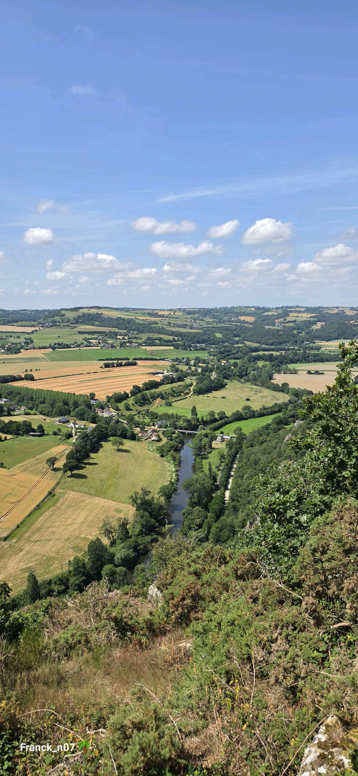
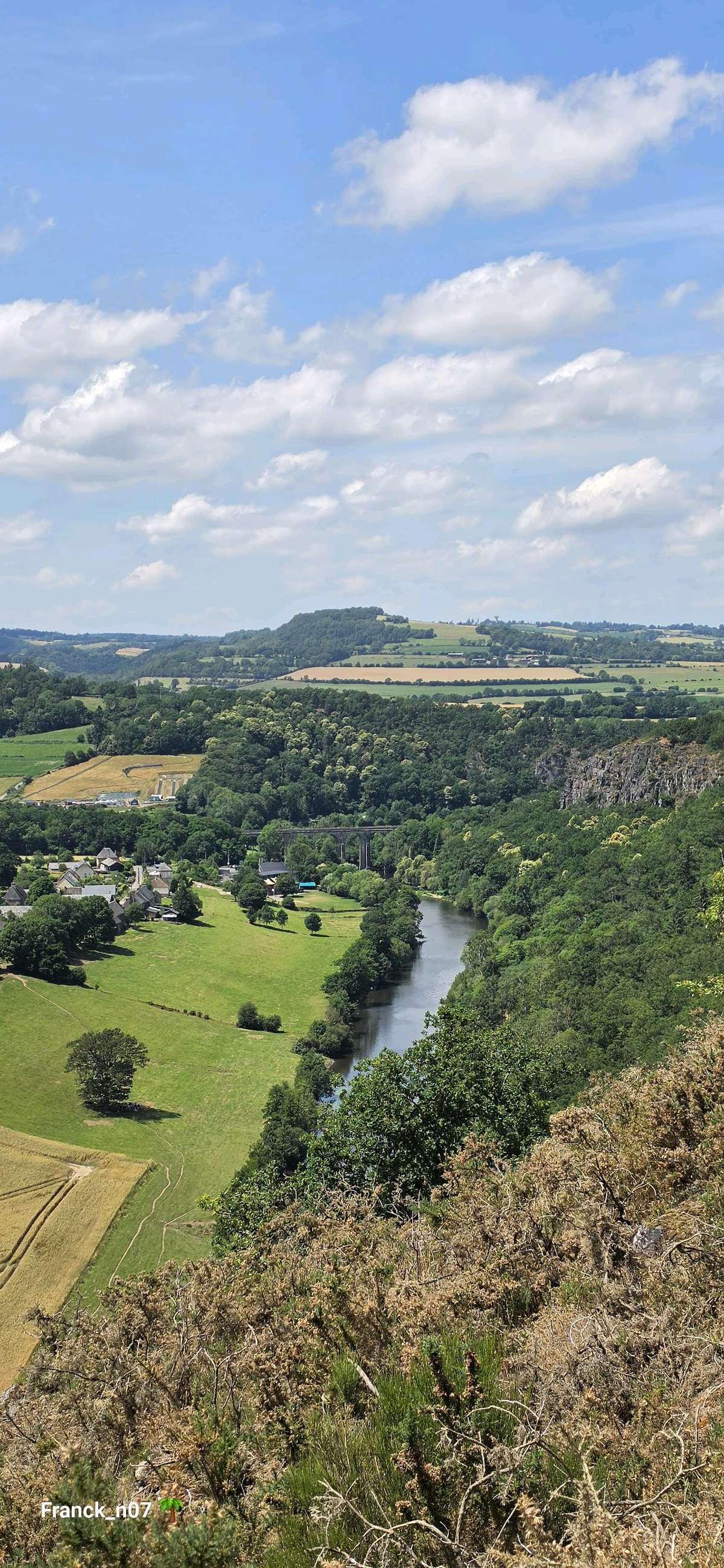
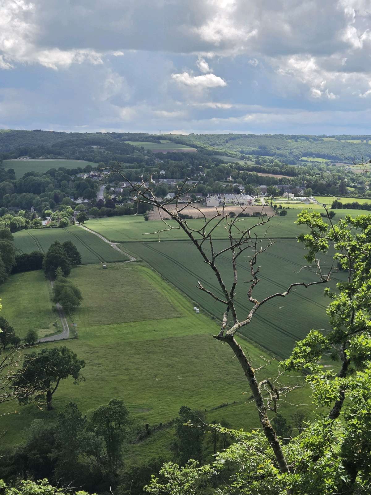
Randonnée de 8,5 km à la découverte des montagnes de la Suisse Normande! Le relief, les panoramas et les paysages y sont remarquables, un haut lieu touristique et sportif!
The characteristics of the route.

LE VEY (14)
- Distance 8.61 km
- Elevation gain 280 m
- Elevation lost 280 m
- Min. elevation 40 m
- Max. elevation. 247 m
- Duration (depending on pace) 02:30:00
Report a problem
11. Pain de Sucre et Rochers des Parcs 2024 WEB_compressed All the routes on your smartphone
Download the Suisse Normande Outdoor mobile app
Get all the routes on your smartphone with the Suisse Normande Outdoor app. You'll find a host of functions:
- Take advantage of detailed IGN maps
- Download data for consultation even when you're not connected to the network
- Geolocate yourself at any time on the route and altimeter profile
- Activate the off-track alarm to be alerted if you stray from the itinerary
- Find nearby services
- Share your experience (add a report, share your lap time)...

The latest reviews & times
franck_n07
finished in 03:00:00
The 2026/06/20
En savoir plus
FX53
The 2026/05/31
En savoir plus
Patrick27160
The 2026/05/24
En savoir plus
131177Ad
The 2026/05/16
En savoir plus
SnurG
The 2026/04/12
En savoir plus
See all reviews & times
2026/05/31 FX53
2026/05/24 Patrick27160
2026/04/12 SnurG
2025/10/25 SibylleC
2025/10/05 Kristel66
2025/07/17 aligator427
2025/07/17 gaet1908
2025/07/15 ceps
2026/05/31 FX53
2026/05/24 Patrick27160
2026/04/12 SnurG
2025/11/25 AmCosette
très belle balade. Un passage sur une route mais nous vu aucune voiture. Possibilité de faire un crochet sur le viaduc qui vaut le détour
2025/10/25 SibylleC
2025/10/05 Kristel66
2025/07/17 aligator427
2025/07/17 gaet1908
2025/07/15 ceps
Services nearby

La Ferme du Vey
LE VEY

CPNLT / CAPA'VENTURE
CLECY
Chez Loulou et Loulette
CLECY
La Suisse Gourmande
CLECY
Centre de Pleine Nature Lionel Terray/Capa'venture
CLECY


Falaise - Suisse Normande Tourist Office
+33(0)2 31 90 17 26
Tourist Office
send mail
Suisse Normande Tourisme
+33(0)2 31 79 70 45
Tourist Office
send mail
![]()
Montagnes de Normandie
+33(0)2 31 59 13 13
Tourist Office
send mail
Val d'Orne Tourist Office
+33(0)2 33 35 86 57
Tourist Office
send mail
 Suisse Normande Outdoor - Parcours - Pain de Sucre et Rochers des Parcs
Hello, world! This is a toast message.
Suisse Normande Outdoor - Parcours - Pain de Sucre et Rochers des Parcs
Hello, world! This is a toast message.
Suisse Normande Outdoor - Parcours - Pain de Sucre et Rochers des Parcs
Hello, world! This is a toast message.


OK
Annuler