Saint-Julien
Add to my favorites

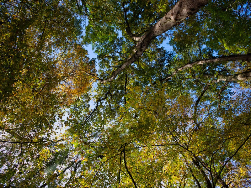
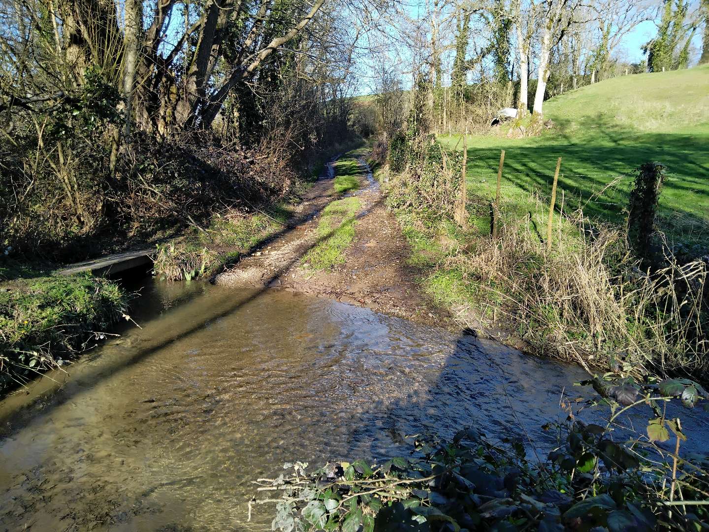
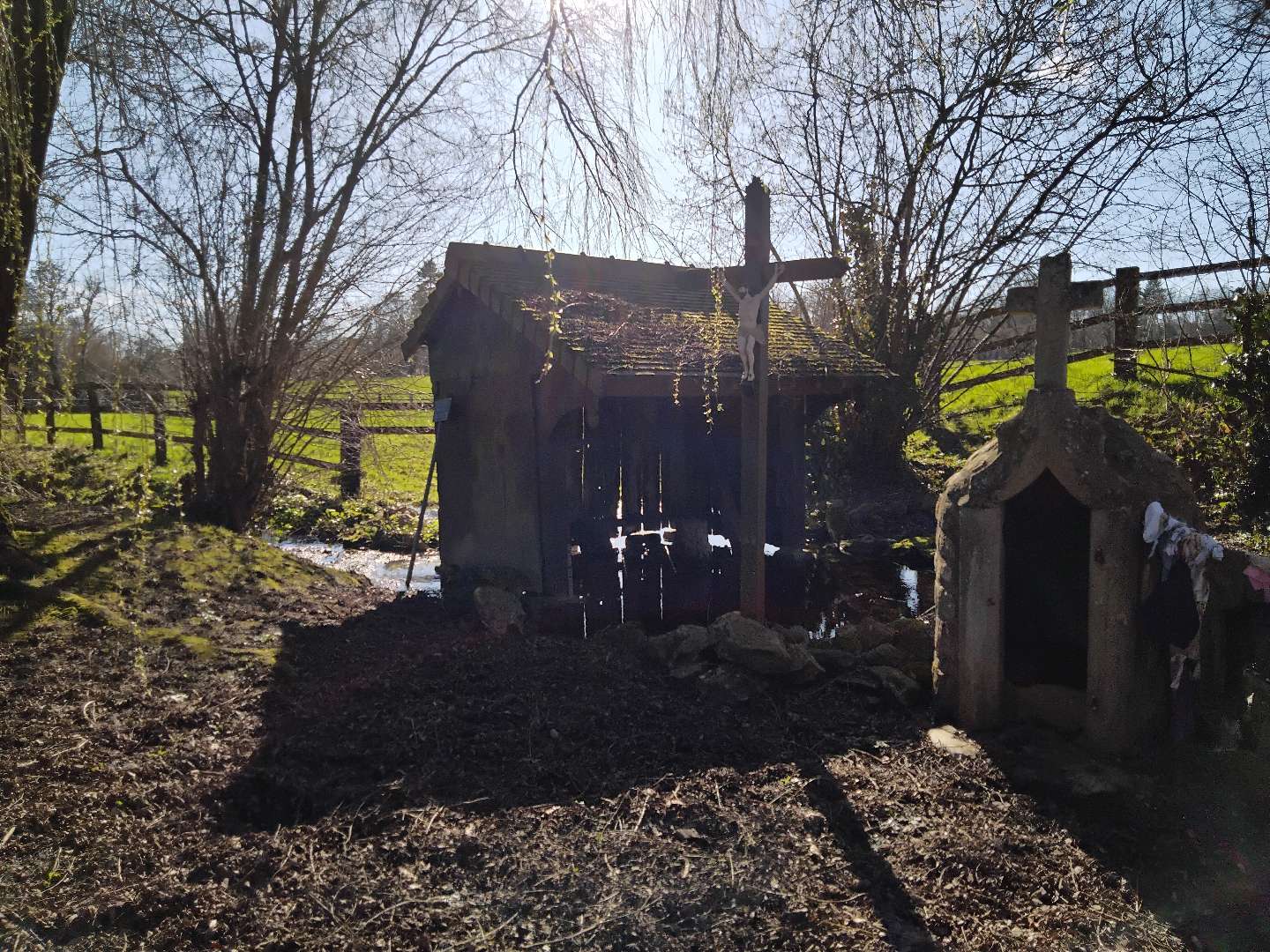
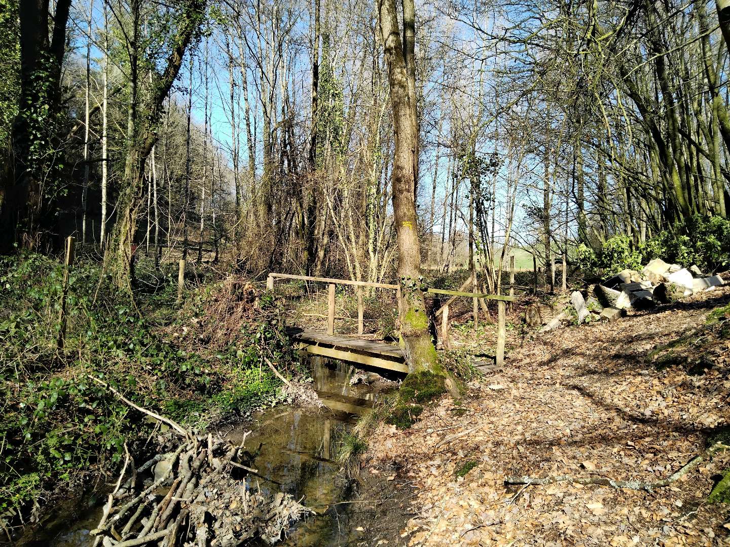
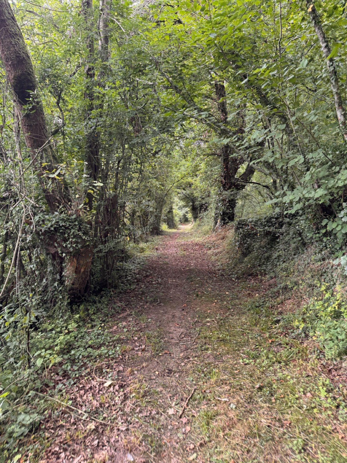
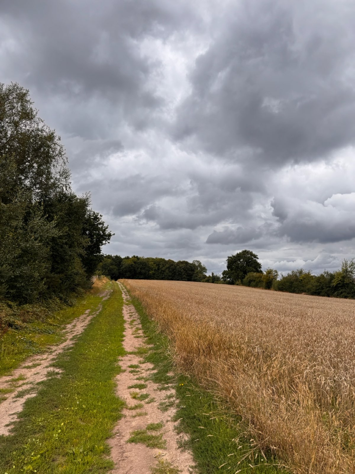
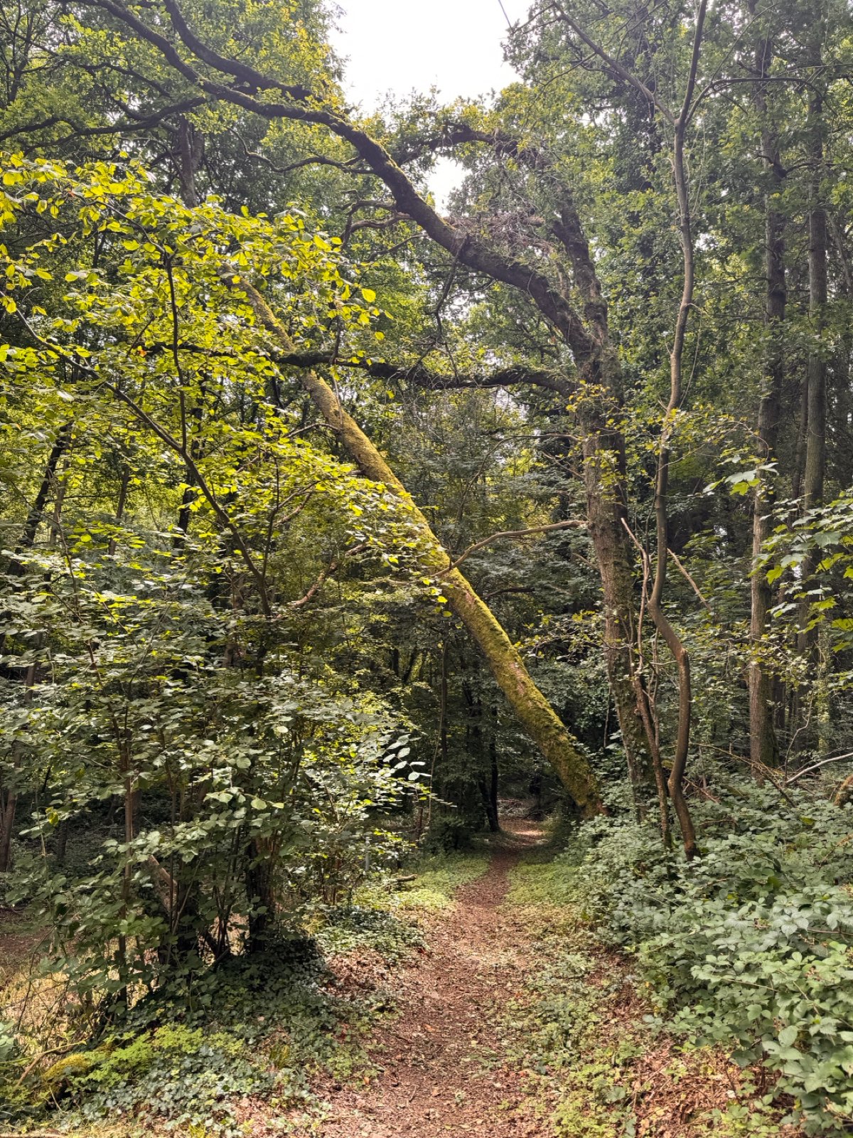
Au cœur d'un écrin de verdure préservée, ce circuit familial vous offrira la possibilité de vagabonder à travers une multiplicité de paysages uniques. Paysages découverts et sous bois, pistes d'herbes douces serpentant entre les près, et descente au creux d'une vallée vous procureront un enchantement sans égal.
The characteristics of the route.

PIERREPONT (14)
- Distance 9.45 km
- Elevation gain 180 m
- Elevation lost 180 m
- Min. elevation 176 m
- Max. elevation. 245 m
- Duration (depending on pace) 03:00:00
Report a problem
Saint Julien All the routes on your smartphone
Download the Suisse Normande Outdoor mobile app
Get all the routes on your smartphone with the Suisse Normande Outdoor app. You'll find a host of functions:
- Take advantage of detailed IGN maps
- Download data for consultation even when you're not connected to the network
- Geolocate yourself at any time on the route and altimeter profile
- Activate the off-track alarm to be alerted if you stray from the itinerary
- Find nearby services
- Share your experience (add a report, share your lap time)...

The latest reviews & times
Kristel66
The 2026/06/01
En savoir plus
SnurG
The 2026/04/19
En savoir plus
Nyska14
finished in 02:15:00
The 2026/02/24
En savoir plus
aligator427
The 2025/08/01
En savoir plus
aligator427
The 2025/08/01
En savoir plus
See all reviews & times
2026/06/01 Kristel66
certains passages demandent un peu de fauchage, il est facile d'en louper l'entrée. Si on le circuit est tres sympa.
2026/04/19 SnurG
2025/08/01 aligator427
2025/08/01 aligator427
2025/07/29 01:53:00
Jujulie
Jujulie
Services nearby

Le Sablé d'Or
PONT-D'OUILLY
L'Epicerie du Coing
PONT-D'OUILLY

La Tribu des Cimes
LA POMMERAYE
4 Pat'Balad
PUTANGES-LE-LAC
EARL les basses planches
SAINT-OMER


Falaise - Suisse Normande Tourist Office
+33(0)2 31 90 17 26
Tourist Office
send mail
Suisse Normande Tourisme
+33(0)2 31 79 70 45
Tourist Office
send mail
![]()
Montagnes de Normandie
+33(0)2 31 59 13 13
Tourist Office
send mail
Val d'Orne Tourist Office
+33(0)2 33 35 86 57
Tourist Office
send mail
 Suisse Normande Outdoor - Parcours - Saint-Julien
Hello, world! This is a toast message.
Suisse Normande Outdoor - Parcours - Saint-Julien
Hello, world! This is a toast message.
Suisse Normande Outdoor - Parcours - Saint-Julien
Hello, world! This is a toast message.


OK
Annuler