
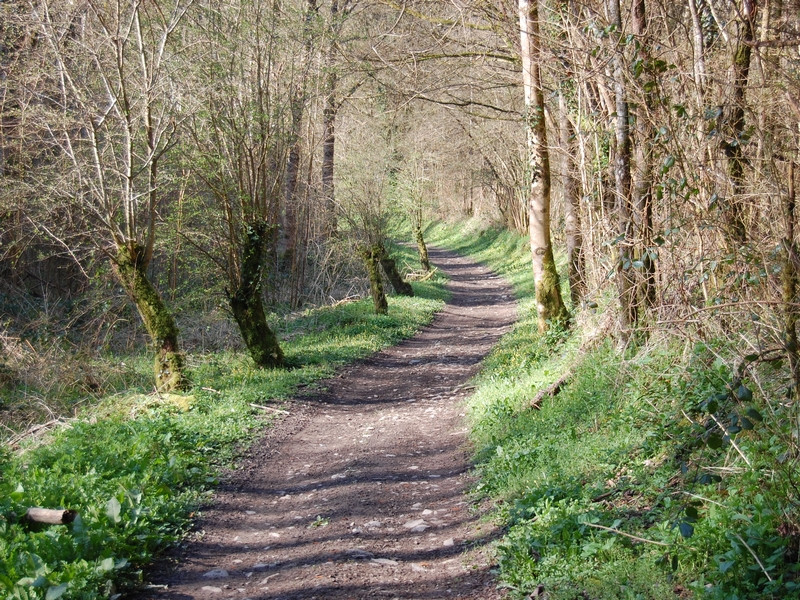
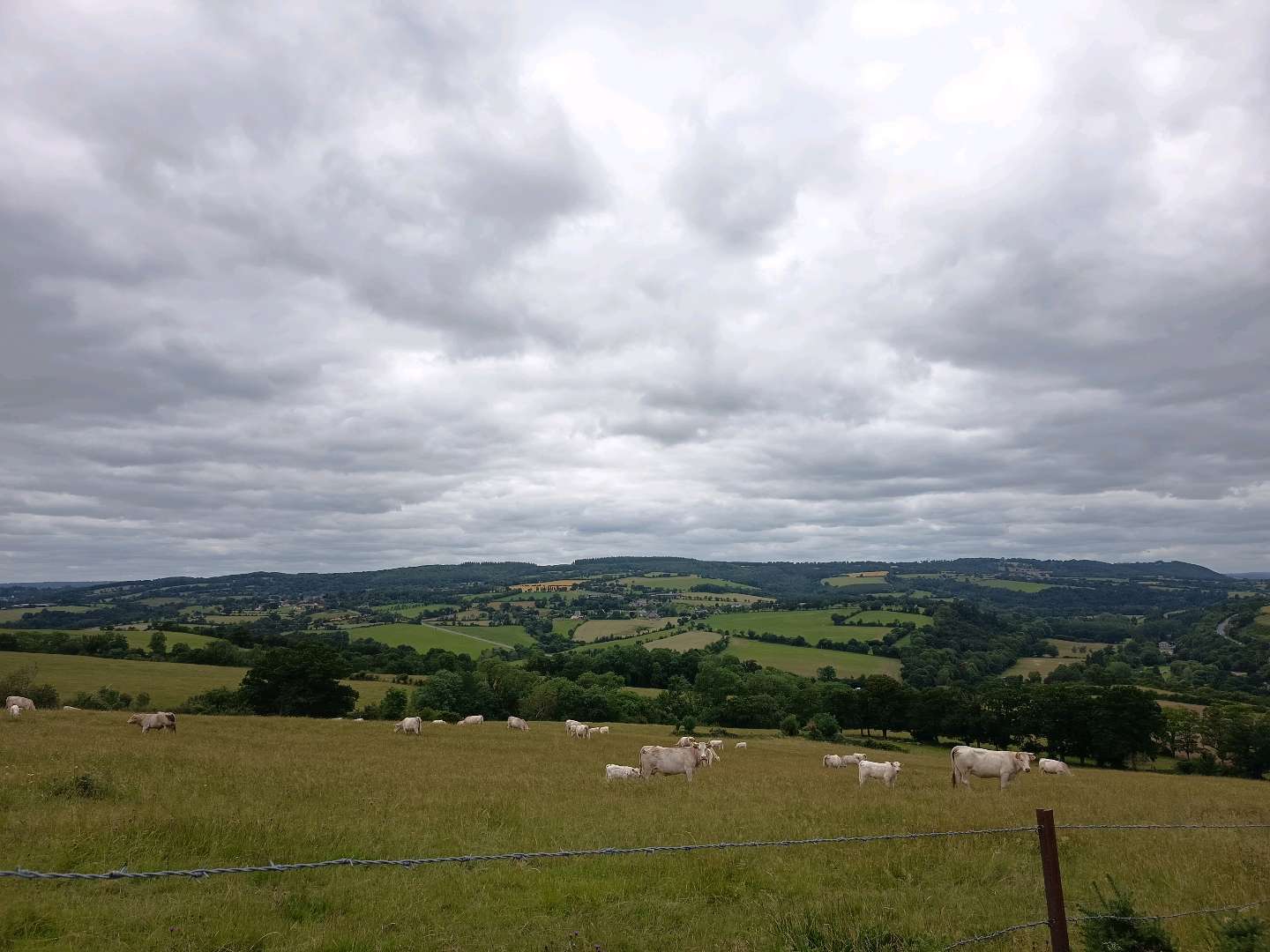
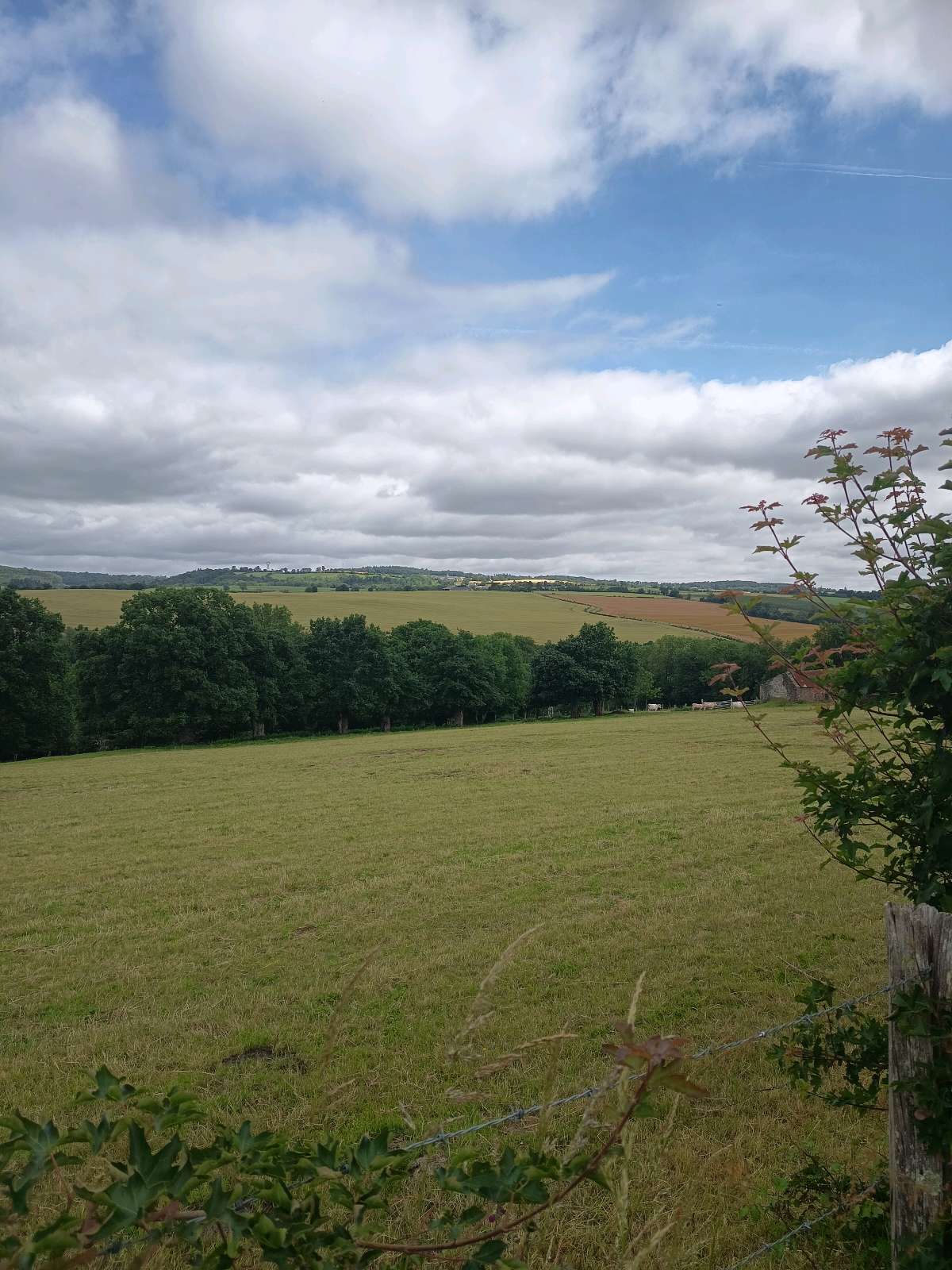
Par monts et par vaux, au détour de ce circuit sinueux, vos foulées vous feront découvrir d'incomparables points de vue, des sentiers serpentant au cœur des méandres d'un ruisseau bucolique. Vous dévalerez des chemins accrochés aux pentes de ce « massif » dénommé la Suisse Normande.
Suite aux récents évènement météorologiques, notamment la tempête « Caetano », le circuit du Val la Hère, sur la partie située à Pierrefitte en Cinglais, est actuellement impraticable en raison de chutes d'arbres qui bloquent le passage.

- Distance 6.88 km
- Elevation gain 240 m
- Elevation lost 240 m
- Min. elevation 59 m
- Max. elevation. 206 m
- Duration (depending on pace) 02:00:00
Get all the routes on your smartphone with the Suisse Normande Outdoor app. You'll find a host of functions:
- Take advantage of detailed IGN maps
- Download data for consultation even when you're not connected to the network
- Geolocate yourself at any time on the route and altimeter profile
- Activate the off-track alarm to be alerted if you stray from the itinerary
- Find nearby services
- Share your experience (add a report, share your lap time)...


Falaise - Suisse Normande Tourist Office
+33(0)2 31 90 17 26
Tourist Office
send mail
Suisse Normande Tourisme
+33(0)2 31 79 70 45
Tourist Office
send mail
![]()
Montagnes de Normandie
+33(0)2 31 59 13 13
Tourist Office
send mail
Val d'Orne Tourist Office
+33(0)2 33 35 86 57
Tourist Office
send mail
 Suisse Normande Outdoor - Parcours - Le Val La Hère
Suisse Normande Outdoor - Parcours - Le Val La Hère
Suisse Normande Outdoor - Parcours - Le Val La Hère
Suisse Normande Outdoor - Parcours - Le Val La Hère
Suisse Normande Outdoor - Parcours - Le Val La Hère

