
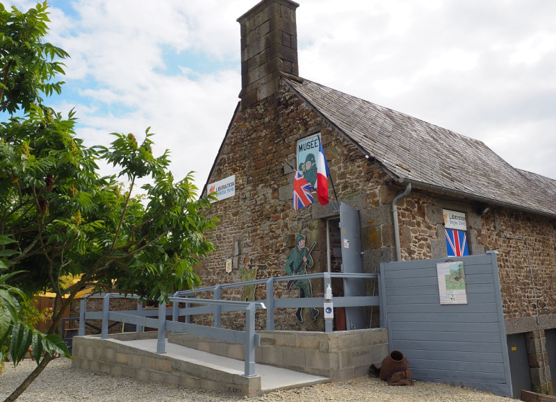
Nous sommes en août 1944, la vallée du Noireau est en pleine bataille. Les troupes britanniques s’apprêtent à libérer la commune de Berjou ! Les soldats anglais ont emprunté un chemin ardu prenant les soldats allemands par surprise. C’est sur ce même tracé que vous revivrez la libération étape par étape grâce aux 6 pupitres implantés sur le parcours.

- Distance 6.31 km
- Elevation gain 200 m
- Elevation lost 200 m
- Min. elevation 60 m
- Max. elevation. 238 m
- Duration (depending on pace) 02:30:00
- Suivre le balisage

Get all the routes on your smartphone with the Suisse Normande Outdoor app. You'll find a host of functions:
- Take advantage of detailed IGN maps
- Download data for consultation even when you're not connected to the network
- Geolocate yourself at any time on the route and altimeter profile
- Activate the off-track alarm to be alerted if you stray from the itinerary
- Find nearby services
- Share your experience (add a report, share your lap time)...


Falaise - Suisse Normande Tourist Office
+33(0)2 31 90 17 26
Tourist Office
send mail
Suisse Normande Tourisme
+33(0)2 31 79 70 45
Tourist Office
send mail
![]()
Montagnes de Normandie
+33(0)2 31 59 13 13
Tourist Office
send mail
Val d'Orne Tourist Office
+33(0)2 33 35 86 57
Tourist Office
send mail
 Suisse Normande Outdoor - Parcours - Berjou Août 44
Suisse Normande Outdoor - Parcours - Berjou Août 44
Suisse Normande Outdoor - Parcours - Berjou Août 44
Suisse Normande Outdoor - Parcours - Berjou Août 44
Suisse Normande Outdoor - Parcours - Berjou Août 44

