19 - Sur les hauteurs de la Suisse Normande
Add to my favorites

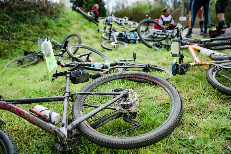
Ce long parcours identifié pour les VTTAE vous emmènera au départ de Clécy sur ses différents panormas : Eminence, Pain de Sucre et Rochers de la Houle, Rochers des Parcs sans oublier le site naturel et historique de Chateau Ganne qui mérite que vous y fassiez une halte sur votre parcours.
The characteristics of the route.

SAINT-REMY-SUR-ORNE (14)
- Distance 46.23 km
- Elevation gain 1380 m
- Elevation lost 1380 m
- Min. elevation 31 m
- Max. elevation. 291 m
- Duration (depending on pace) 4h45
- Suivre le balisage

Report a problem
All the routes on your smartphone
Download the Suisse Normande Outdoor mobile app
Get all the routes on your smartphone with the Suisse Normande Outdoor app. You'll find a host of functions:
- Take advantage of detailed IGN maps
- Download data for consultation even when you're not connected to the network
- Geolocate yourself at any time on the route and altimeter profile
- Activate the off-track alarm to be alerted if you stray from the itinerary
- Find nearby services
- Share your experience (add a report, share your lap time)...

Add your time and share your feelings
Services nearby

Centre de Pleine Nature Lionel Terray/Capa'venture
CLECY
CPNLT / CAPA'VENTURE
CLECY

Bergerie des Ber'Tommes
CLECY
La Ferme du Vey
LE VEY
Chez Loulou et Loulette
CLECY


Falaise - Suisse Normande Tourist Office
+33(0)2 31 90 17 26
Tourist Office
send mail
Suisse Normande Tourisme
+33(0)2 31 79 70 45
Tourist Office
send mail
![]()
Montagnes de Normandie
+33(0)2 31 59 13 13
Tourist Office
send mail
Val d'Orne Tourist Office
+33(0)2 33 35 86 57
Tourist Office
send mail
 Suisse Normande Outdoor - Parcours - 19 - Sur les hauteurs de la Suisse Normande
Hello, world! This is a toast message.
Suisse Normande Outdoor - Parcours - 19 - Sur les hauteurs de la Suisse Normande
Hello, world! This is a toast message.
Suisse Normande Outdoor - Parcours - 19 - Sur les hauteurs de la Suisse Normande
Hello, world! This is a toast message.


OK
Annuler