
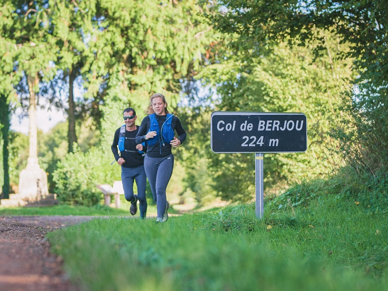
Voici un parcours vallonné qui vous amène à la découverte de la campagne normande jusqu’aux bois de Berjou. Tantôt sur chemin forestiers ou chemins creux typiques de la région, tantôt au travers des champs, le circuit est varié et permet un bel entrainement en garantissant de jolis points de vue sur la vallée du Noireau et ses affluents : la Vère et le Casse-cou. Si vous souhaitez allonger la sortie, le parcours rouge emprunte le même itinéraire et continue jusqu’au Noireau pour vous amener jusqu’à Cambercourt puis Cahan avant de rejoindre ce tracé.

- Distance 17.21 km
- Elevation gain 441 m
- Elevation lost 441 m
- Min. elevation 73 m
- Max. elevation. 219 m
- Duration (depending on pace) 1h45 à 3h30
- Suivre le balisage

Get all the routes on your smartphone with the Suisse Normande Outdoor app. You'll find a host of functions:
- Take advantage of detailed IGN maps
- Download data for consultation even when you're not connected to the network
- Geolocate yourself at any time on the route and altimeter profile
- Activate the off-track alarm to be alerted if you stray from the itinerary
- Find nearby services
- Share your experience (add a report, share your lap time)...

Julienbouq
Julienbouq


Falaise - Suisse Normande Tourist Office
+33(0)2 31 90 17 26
Tourist Office
send mail
Suisse Normande Tourisme
+33(0)2 31 79 70 45
Tourist Office
send mail
![]()
Montagnes de Normandie
+33(0)2 31 59 13 13
Tourist Office
send mail
Val d'Orne Tourist Office
+33(0)2 33 35 86 57
Tourist Office
send mail
 Suisse Normande Outdoor - Parcours - 27 - Sur les pentes boisées de Berjou
Suisse Normande Outdoor - Parcours - 27 - Sur les pentes boisées de Berjou
Suisse Normande Outdoor - Parcours - 27 - Sur les pentes boisées de Berjou
Suisse Normande Outdoor - Parcours - 27 - Sur les pentes boisées de Berjou
Suisse Normande Outdoor - Parcours - 27 - Sur les pentes boisées de Berjou

